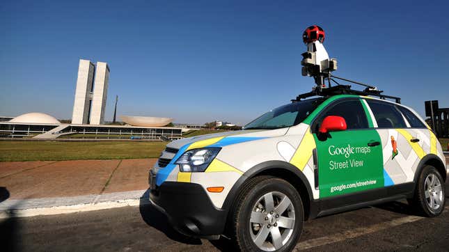
Google and its armada of camera-rigged Steet View cars and other devices have been photographing the globe piece by piece for well over a decade now, and all that footage adds up to some pretty staggering tallies: more than 10 million miles of Street View imagery and 36 million square miles of Google Earth imagery, the company revealed for the first time in a recent CNET report.
With that many square miles surveyed, Google’s mapped out 98 percent of the parts of the world where people live with its aerial mapping service, according to CNET (My guess: That last remaining two percent covers Atlantis and Wakanda. Maybe some bits of North Dakota too). Meanwhile that 10 million miles of Street View footage amount to 400 trips around the world, Google told CNET, which just serves to underline how absolutely bonkers the amount of data Google’s working with when it comes to its other apps and services.
“Imagery is at the core of everything we do. We think of it as the foundation of the entire mapmaking process,” Ethan Russel, the director of product at Google Maps, told CNN.
Originally devised in 2004, nearly a decade before Apple rolled out the first semblance of a competitor to Google Maps, Street View was the brainchild of Larry Page, a co-founder of Google who recently stepped down as CEO of its parent company, Alphabet, earlier this month. Back then, while Google still deployed a fleet of camera-strapped cars to capture the ubiquitous 360-degree map users recognize today, the company also depended on camera-strapped hikers, sheep, and camels to get where tires couldn’t reach, per CNET’s report.
Google Maps has come a long way since those quadrupedal-led days, with Google folding in more quality-of-life features overtime like food delivery options, augmented-reality directions, and translation tools to make it less of a digital map and more of a one-stop-shop for the directionally challenged. As with most big tech firms, that expansion’s come with its fair share of privacy dilemmas among its increasingly security-conscious users. Though, I’d argue if you think Google knows an awful lot about you, just imagine how Earth feels.
[CNET]