


In my last post I wrote about a journey through the volcanic central highlands of the North Island of New Zealand. This one will deal with another volcanic locale on the western tip of the same island, similarly a national park surrounded by agricultural land.

The distinctive profile of Mt. Taranaki, seen from the farmland below.

Google Maps view of the volcano and adjacent farmland, showing the circular national park boundary and concentric ecological zones
Mt. Taranaki (last eruption 1854) has an iconic conical shape that has produced the sort of formal clarity and definition that I tend to seek out in the natural environment. Part of that clarity is the nearly perfect circular outline of Egmont National Park, which contains the mountain. The visibility of the boundary is a function of land use—the contrast between the preserved vegetation inside the boundary and the cleared land outside— rather than environmental conditions, but the shape does derive from the form of the volcano. The clarity of pattern is also reflected inside the park, in the form of its ecological zonation. Reaching 2,518m (8,261’), Taranaki rises from temperate rainforest at the base through concentric zones of montane shrubland and grassland on the upper slopes, and finally bare rock around the summit. The summit and crater are iced-in for most of the year, which made them impossible to reach when I was there (November 2017), so in fact it was the mountain’s vegetation bands that captured my attention rather than its volcanic aspect. For me it’s craters that create the volcanic experience; Taranaki felt like a regular mountain.

Tree ferns in the rainforest on the lower slopes.

More rainforest, a little higher up, with the rare Cordyline indivisa (the spiky plants).

View downslope from the montane shrubland.

View of the summit from the grassland zone.

Looking downslope across the multiple vegetation zones.
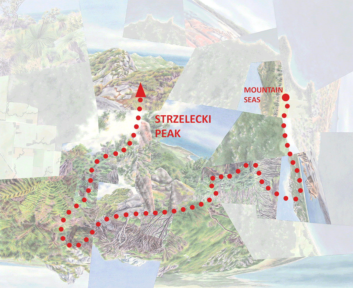
I spent one full day at Taranaki, hiking to the lower reaches of the barren summit area where the snow began—that experience inspired Cone. The work depicts only one quarter of the full circle, because the hike only covered a tiny slice of the mountain and I didn’t have a chance to circumnavigate the whole thing by car to at least get some distant views of the rest. I’m hoping to make it back there someday during their summer so I can do that, plus of course hike all the way to the summit crater.

Cone, watercolor on paper, 36”x36.”
I don’t think of this hike as a discrete “journey” like the Tongariro Alpine Crossing—it was actually a combination of walks along various roads and trails, plus given the inaccessible summit it didn’t have a ceremonious destination point. For that reason I haven’t created an animated version of Cone, with the path overlaid, as I did for Alpine Crossing and will do for others—I don’t think it would be as effective or as reflective of the experience of being there. Still, the layout of the various view fragments is meant to depict a relatively linear progression upward through the various landscapes.
Darren