Corpus Christi Map Pictures, Images and Stock Photos
Browse 70+ corpus christi map stock photos and images available, or start a new search to explore more stock photos and images.
Most popular
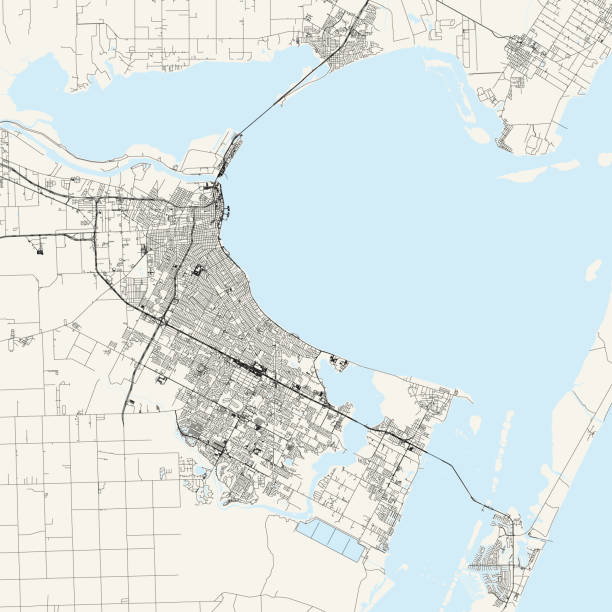
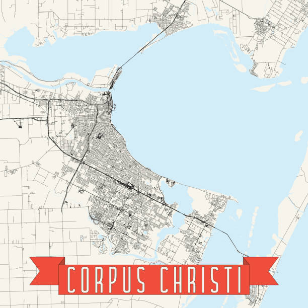
Topographic / Road map of Corpus Christi, Texas, USA. Map data is open data via openstreetmap contributors. All maps are layered and easy to edit. Roads are editable stroke.

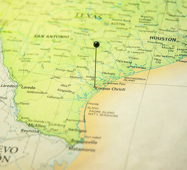
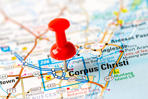
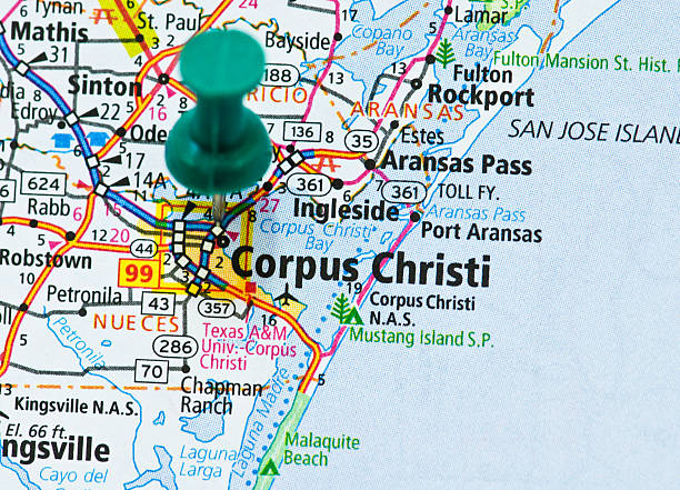
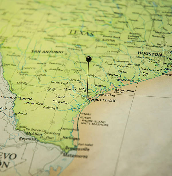
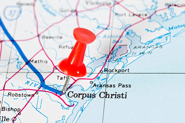
Photo of pinned Corpus Christi on a map of USA. May be used as illustration for traveling theme.
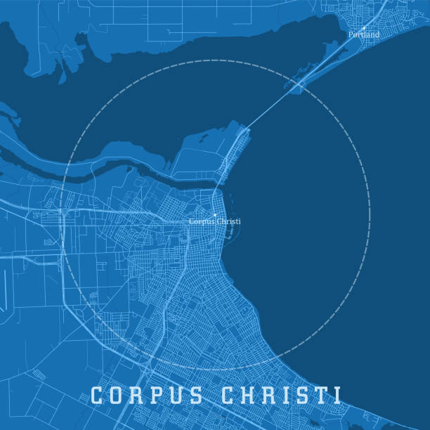
Corpus Christi TX City Vector Road Map Blue Text. All source data is in the public domain. U.S. Census Bureau Census Tiger. Used Layers: areawater, linearwater, roads.
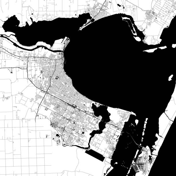
Topographic / Road map of Corpus Christi, Texas, USA. Map data is open data via openstreetmap contributors. All maps are layered and easy to edit. Roads are editable stroke.
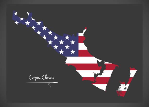
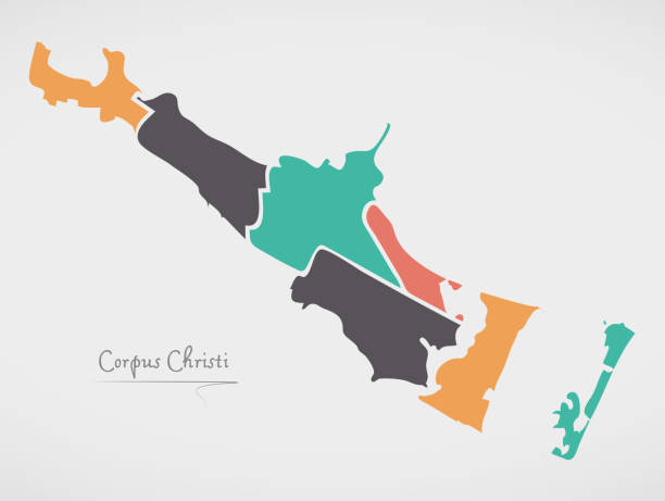
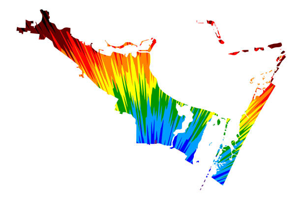
Corpus Christi City (United States cities, United States of America, usa city) map vector illustration, scribble sketch City of Corpus Christi map
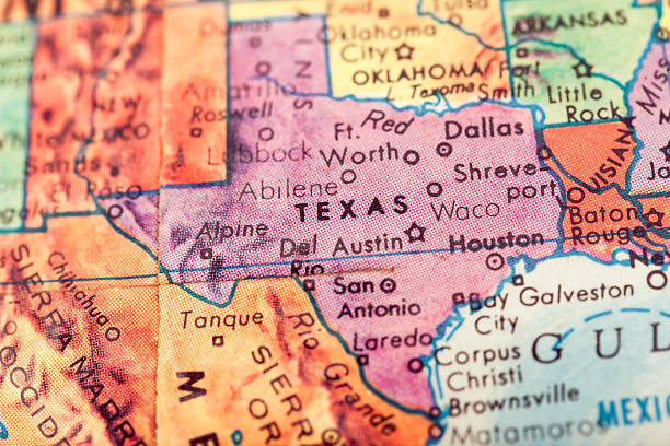
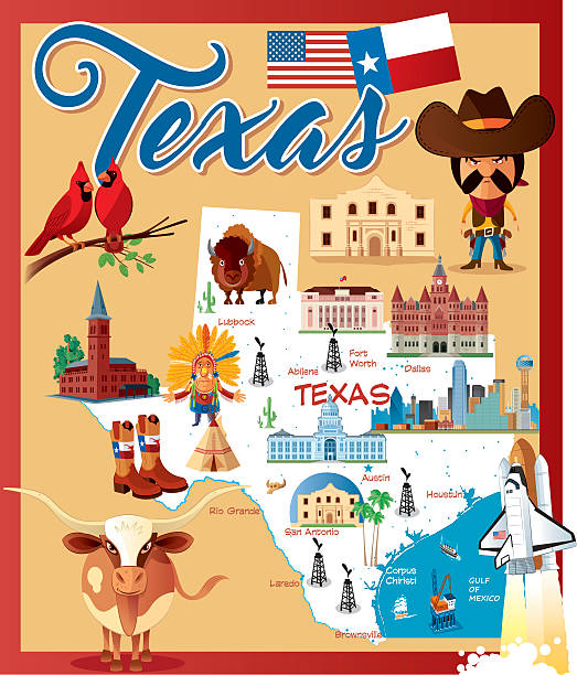
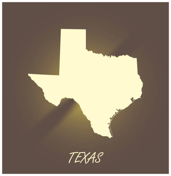
Studying Geography - Texas on retro globe.
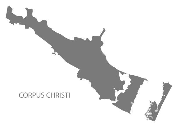
Topographic / Road map of Corpus Christi, Texas, USA. Map data is open data via openstreetmap contributors. All maps are layered and easy to edit. Roads are editable stroke.
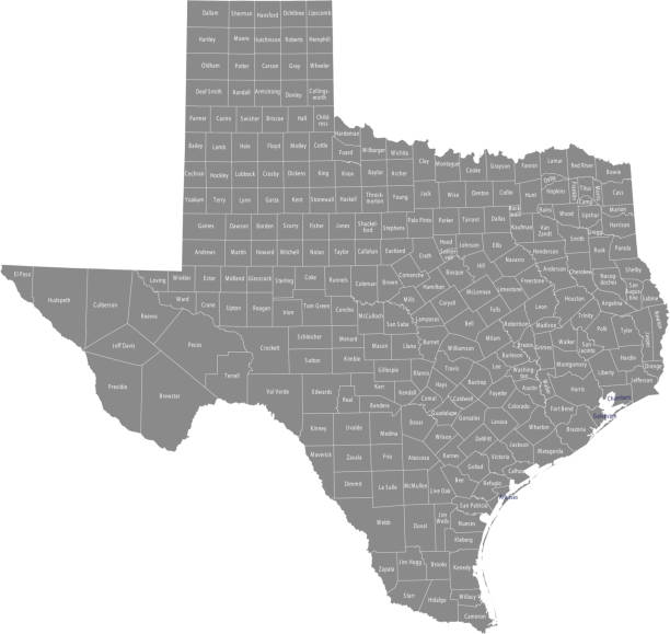
All counties have separate and accurate borders that can be selected and easily edited.
http://farm8.staticflickr.com/7189/6818724910_54c206caf8.jpg
The maps are accurately prepared by a GIS and remote sensing expert.
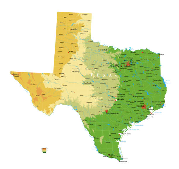
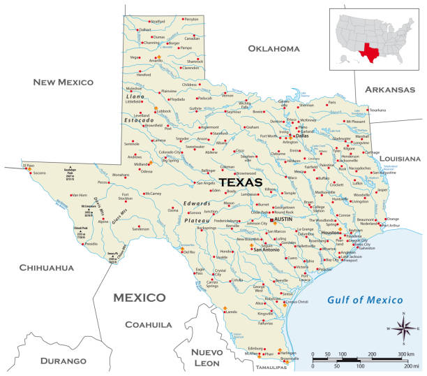
Highly detailed physical map of the Texas, in vector format,with all the relief forms,regions and big cities.
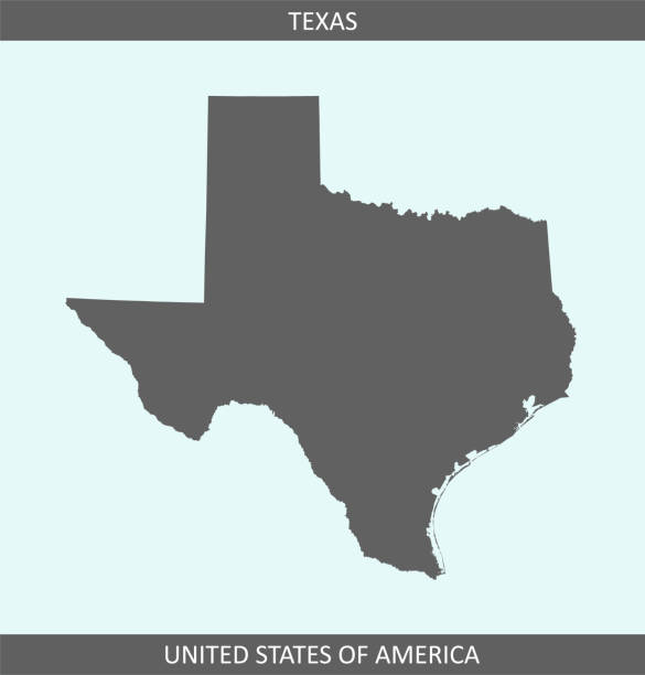
Map of Texas
Destination Corpus Cristi. http://i70.photobucket.com/albums/i102/mzelkovi/maps-1.jpg

The map is accurately prepared by a map expert.
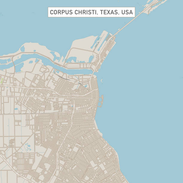
Vector Illustration of a City Street Map of Corpus Christi, Texas, USA. Scale 1:60,000. All source data is in the public domain. U.S. Geological Survey, US Topo Used Layers: USGS The National Map: National Hydrography Dataset (NHD) USGS The National Map: National Transportation Dataset (NTD)
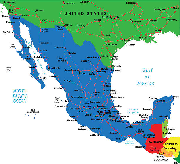
Detailed map of Mexico.
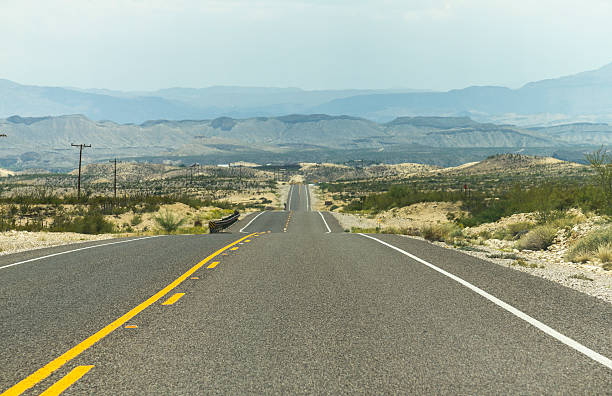
On a lonely highway somewhere in Texas

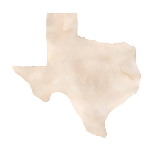
One single object, blank shape. Hand painted sketchy drawing on white, cut out clip art element for design, card, banner.
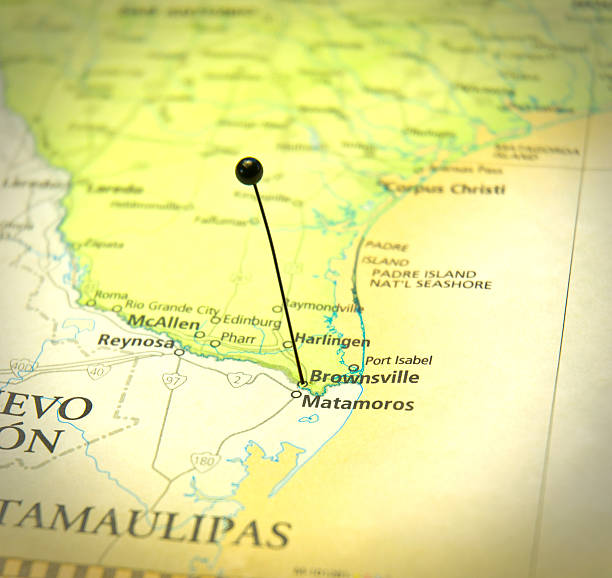

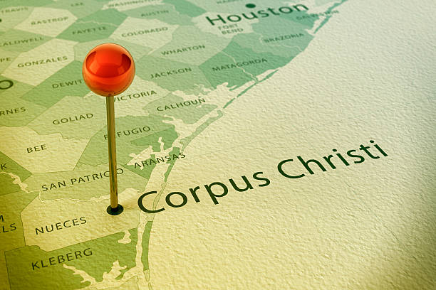
3D Render of a Straight Pin at the Position of the City of Corpus Christi on a Map of Texas. Vintage Color Style. Very high resolution available!

Image relative to USA travel. Texas cities and places names cloud. 3D rendering
Gold texas state map icon vector illustration

Image relative to USA travel. Texas cities and places names cloud. 3D rendering
"Thumb Tack On Corpus Christi, Texas On The Gulf Of Mexico."
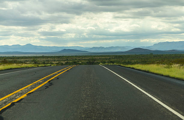
On a lonely highway somewhere in Texas
Downloadable outline vector map of Texas state of United States of America. The map is accurately prepared by a map expert.


Image relative to USA travel. Texas cities and places names cloud.


On a lonely highway somewhere in Texas


The Packery Channel near Corpus Christi, Nueces County, Texas On a foggy morning with birds flying near the water.
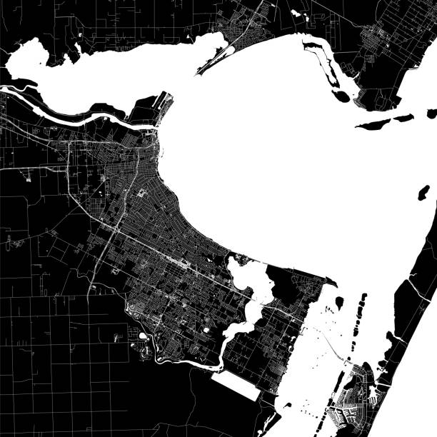
Topographic / Road map of Corpus Christi, Texas, USA. Map data is open data via openstreetmap contributors. All maps are layered and easy to edit. Roads are editable stroke.

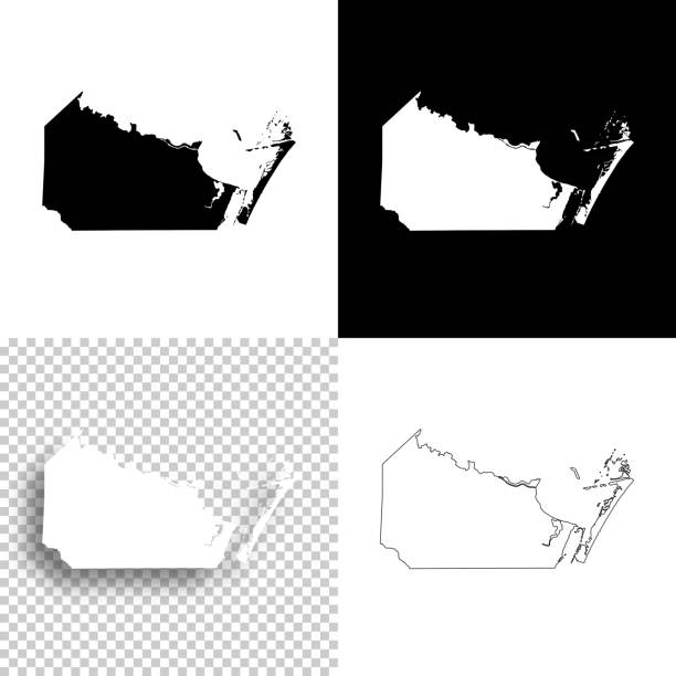
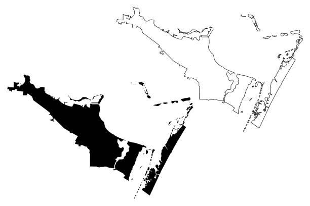
Map of Nueces County - Texas, for your own design. Four maps with editable stroke included in the bundle: - One black map on a white background. - One blank map on a black background. - One white map with shadow on a blank background (for easy change background or texture). - One line map with only a thin black outline (in a line art style). The layers are named to facilitate your customization. Vector Illustration (EPS file, well layered and grouped). Easy to edit, manipulate, resize or colorize. Vector and Jpeg file of different sizes.
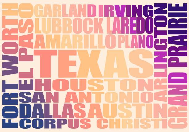
Image relative to USA travel. Texas cities and places names cloud.

Image relative to USA travel. Texas cities and places names cloud.


Image relative to USA travel. Texas cities and places names cloud. 3D rendering

Image relative to USA travel. Texas cities and places names cloud. 3D rendering

Toledo, Spain - June 3, 2018: A woman consults a tourist map of Toledo in Spain
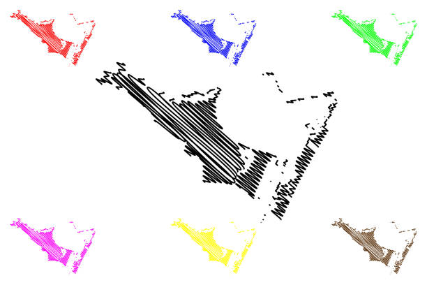
Corpus Christi City (United States cities, United States of America, usa city) map vector illustration, scribble sketch City of Corpus Christi map
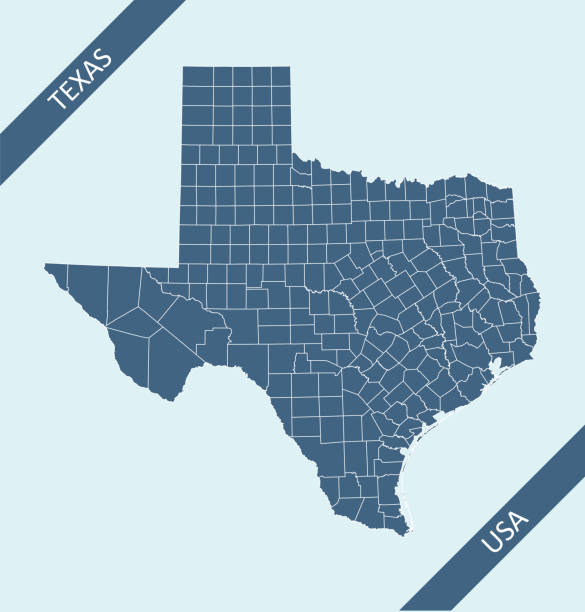
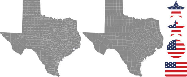
Highly detailed county map of Texas state of United States of America for web banner, mobile app, and educational use. The map is accurately prepared by a map expert.

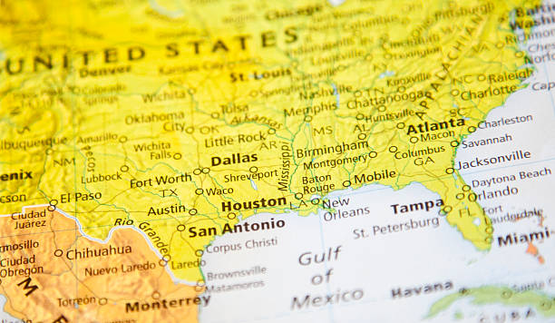
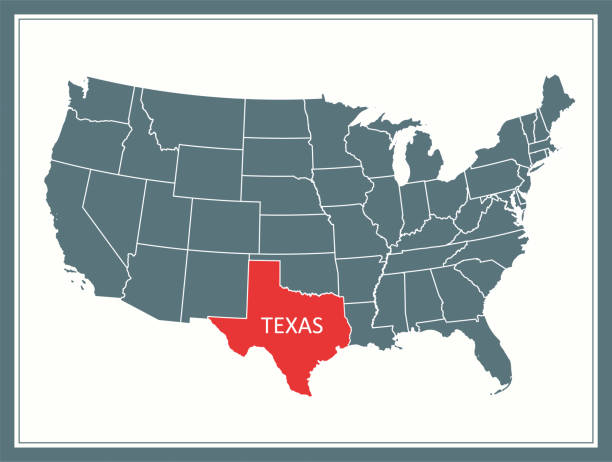
Highly detailed map of United States of America with highlighted state of Texas for web banner, mobile app, and educational use. The map is accurately prepared by a map expert.

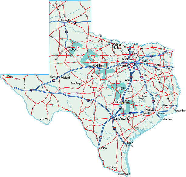
Highly detailed map of Texas state of United States of America for web banner, mobile app, and educational use. The map is accurately prepared by a map expert.