EXPLORE Uluru-Kata Tjuta National Park with this slideshow, check the location map and get all the facts and information below.
For slideshow description see right or scroll down (mobile). Click to view slideshow

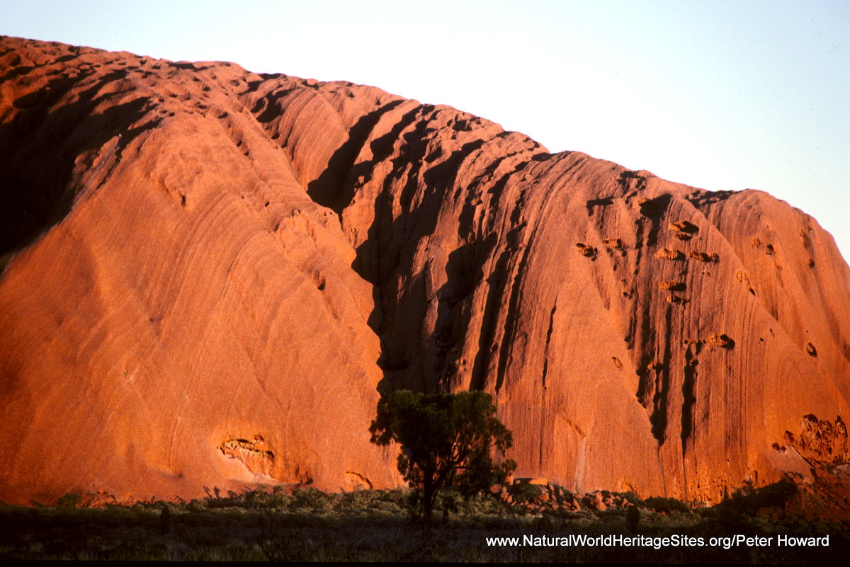
Location and Values: The Uluru-Kata Tjuta National Park is located in the southwest corner of Australia’s Northern Territory, about 450km from Alice Springs. It lies in the red heart of the Australian outback, and includes the world-famous Uluru (Ayers Rock) and equally impressive neighbor, Kata Tjuta (the Olgas). These gigantic monoliths – eroded sandstone domes punctuating the monotony of the vast sandy plains – can only be fully appreciated for their immensity, grandeur, colour, and texture through direct experience of the place. It is no wonder the traditional owners of the site, the Anangu aboriginal peoples, hold it in such reverence and protect its sacred places with such pride.
Conservation Status and Prospects. According to IUCN’s Conservation Outlook Assessment (2017) the conservation status of the Uluru-Kata Tjuta National Park is ‘good’. The IUCN report notes that ‘the site’s World Heritage values are in good condition, likely to be maintained and indicators are that the protection and conservation of the site are highly effective. The site is very well managed through a combination of traditional and scientific knowledge under a Board of Management comprising a majority Traditional Owners, the Director of National Parks and two experts. Park management programs are all guided by Tjukurpa (traditional law). The key threats to the site: wildfire, feral animals (camels, fox and rabbits), weeds and invasive exotic species (especially buffel grass) are a threat to the sites’ biodiversity values rather than a threat to its World Heritage values. These threats are all well recognized and prioritised in the Plan of Management. ’
Links:
Google Earth
UNESCO Official Website
IUCN Conservation Outlook
UNEP-WCMC Site Description
Slideshow description

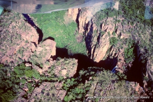
The slideshow ‘tells the story’ of Uluru-Kata Tjuta National Park, showing the remarkable landscapes, habitats, plants and animals of this extraordinary place. The photos were taken by Peter Howard during a visit in 1998, so may seem a bit dated – but little has changed with the passing of time! Uluru (or Ayers Rock, as it used to be called) is one of the world’s most iconic places, included as one of this website’s Top 10. It is difficult to appreciate the aura of such a place without direct, personal experience – taking in its massive bulk; the enormity of the empty desert all around; and the ever-changing mood and colour of the rock as the sun and moon play on its surface. The slideshow starts with distant views of the rock, and then takes a closer look at shapes and textures, including the flaky-bark texture of the sandstone rock itself. From Uluru it is a long drive through the desert to the other great natural features of the site – King’s Canyon and Kata Tjuta, a group of massive red-rock domes huddled together in the flat expanse of the desert like a group of elders in deep conversation. The slideshow includes photos of some of the iconic Australian animals that may be spotted in the area – emus, Galah cockatoo, numbat, echidna (a monotreme mammal that lays eggs!) and various other Australian birds, lizards and snakes.
Factfile
Top 10: One of the ‘Top 10’ sites
Website Categories: Deserts; Earth Features
Area: 1,326 km2
Inscribed: 1987 (Extended 1994)
Criteria:
- Exceptional natural phenomenon (vii);
- Outstanding natural beauty (vii);
- Geological features (viii);
- Cultural criteria (v,vi)